Services

Forest inventory

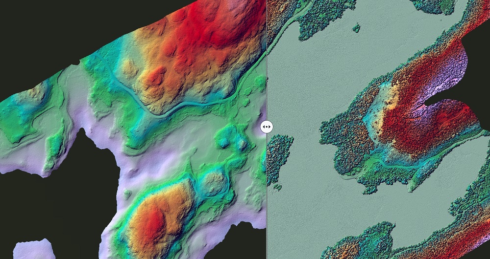
Field has extensive experience with remote sensing-based forest inventory. Combining aerial LiDAR data and imagery with field measurements, we can provide accurate and cost-effective inventory results over large areas. Typical variables include tree height, species, diameter, growing stock, and carbon stock. Using time series, we can also estimate site index, cutting class, and age.

Forest inventory

We use both area-based and detailed single-tree analyses for diverse customers, ranging from the forest industry and powerline companies to rail and road authorities and municipalities. We work primarily in the Nordic countries and within boreal forests, but we also have experience conducting projects in the Americas, Asia, and Africa.

We support our customers throughout all stages — from the choice of sensor, data capture and operations, and processing and analysis.

Our forestry software are based on advanced technology for collecting, analyzing, and presenting forest and nature data for our customers.

Utility Services

Network owners across Sweden, Norway and Finland face many challenges. Networks must be methodically and continuously maintained – including clearing and felling edge trees to avoid costly phase failures due to falls on the line. As neutral partners without ties to landowners, contractors or network companies, we conduct forestry investigations and internal controls.

Our services include:

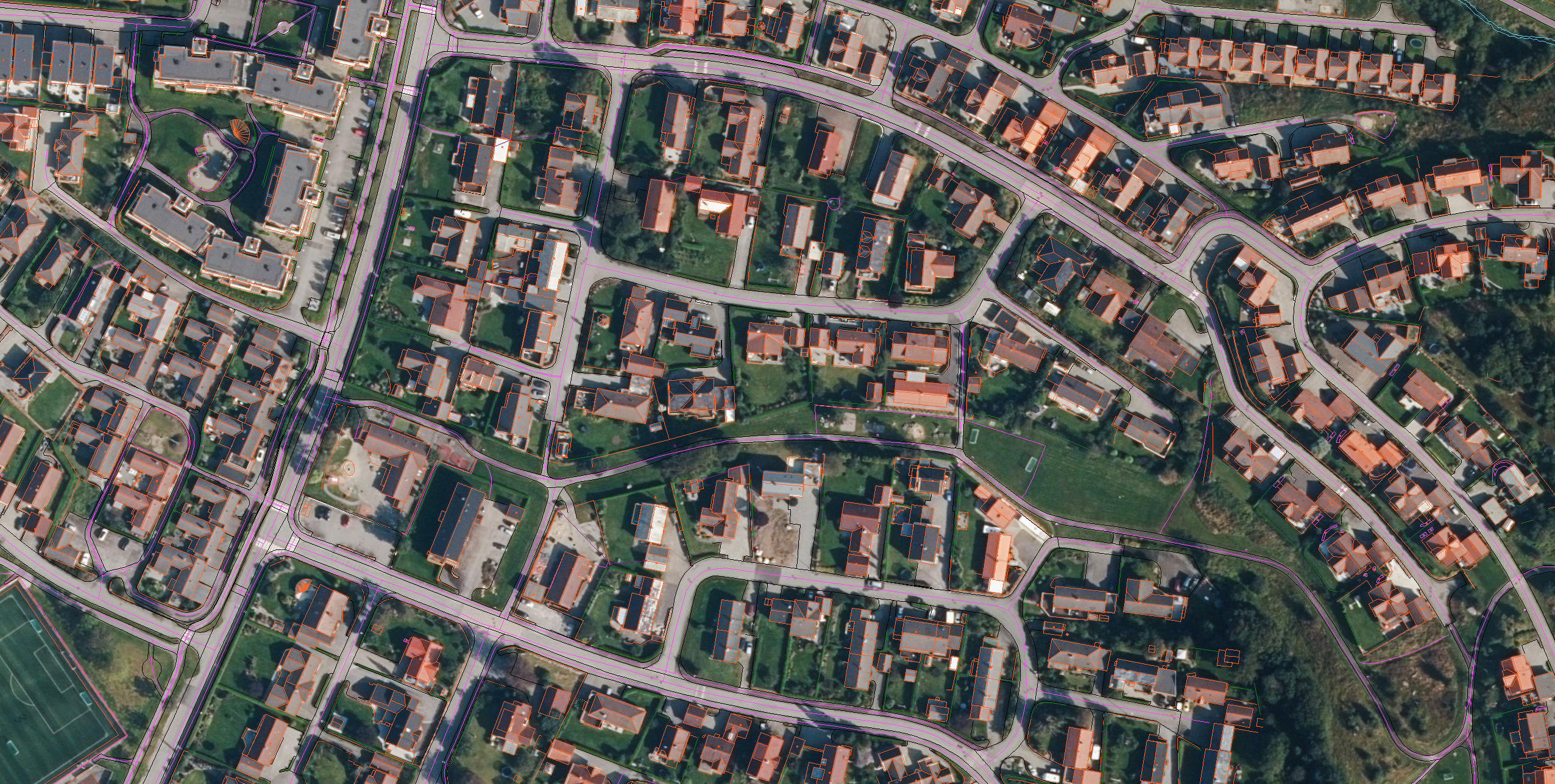
  • Planning documents: Producing planning documents and map material based on laser scanning.
  • Project management: We can manage forest inspection and edge tree administration, clearing of rights of way, encroachment evaluation or landowner mailings as an external resource.
  • Internal controls: Our internal control services are wide-ranging and include conducting field inventory with an assessment of the clearing work carried out, registering general statistics on performance and deviations, using data to compile reports and maps, and following up on forest inspections.

Biological Inventories & Investigations

Our specialist team has extensive experience conducting inventories for both private and public sectors in Sweden, Norway and Finland. The scope and extent of the work can vary greatly. Our competence is broad, and we have a large team which gives us the capacity to carry out projects of all sizes and competencies.

Examples of common services:  

  • Key biotopes: swamp forest, fungi and species
  • Substrate: estimate dead wood or biomass within an area
  • Vegetation mapping: monitoring species of vascular plants and hellebores
  • Reserves: for municipal or state formations
  • Grazing pressure: monitoring damage to plants
  • Fauna: organism groups and wood-dwelling insects in reserves
  • Ecological landscape plans: gap analysis and goal formulation
  • Habitat modeling: modeling several species groups, basing the analysis on several national datasets.

test

Monitoring & Internal Controls

We offer high-quality and cost-effective solutions for various monitoring and internal controls. With many years of experience monitoring PECF and FSC, we can help you monitor the increasing forest certification and auditing requirements.

We have a well-developed system that will help you maintain your requirements cost-effectively. We follow up on, among other things, soil preparation and planning, clearing, thinning, and regeneration felling.

We also conduct damage inventories after storms, drought, fire, fungal and insect attacks. We measure the damaged volume and the proportion of damage. We can also make the entire basis for the damage evaluation that the insurance companies need.

Traditional Forestry Plans

Field is one of the country's largest forestry plan producers in the Nordics. We prepare forestry plans using the latest technology and deliver fast, high-quality, cost-effective services and software products.

Our services include:

  • Forestry plans
  • Multi-use plans
  • Valuation
  • Forest valuation
  • Logging and thinning planning

Get in touch

Sweden

Johan Vestin

+46 13 210 282

johan.vestin@field.group

Sweden

Rikard Hedberg

+46 13 210 286

rikard.hedberg@field.group

Norway

Floris Jan Groesz

+ 47 986 30 541

floris.groesz@field.group

Finland

Lasse Turunen

+35 850 491 5180

lasse.turunen@field.group

Mapping & Modelling

Field offers a broad set of geospatial mapping and data services such as urban and corridor mapping services, remote-sensing based forest inventory and location-based services. We are living in a digital world, where digital model of physical assets is the standard. Design, construction and maintenance are done in 3D, which saves costs and increases efficiency. We have extensive experience processing geospatial data into 3D models of cities, infrastructure, buildings, terrain, and seabed. Explore more Field Mapping & Modelling services below.

This site is registered on wpml.org as a development site.