Services
360 street view imagery
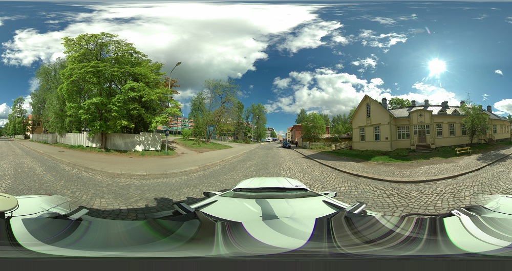
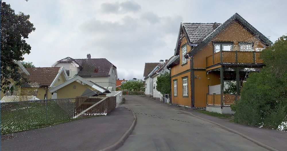
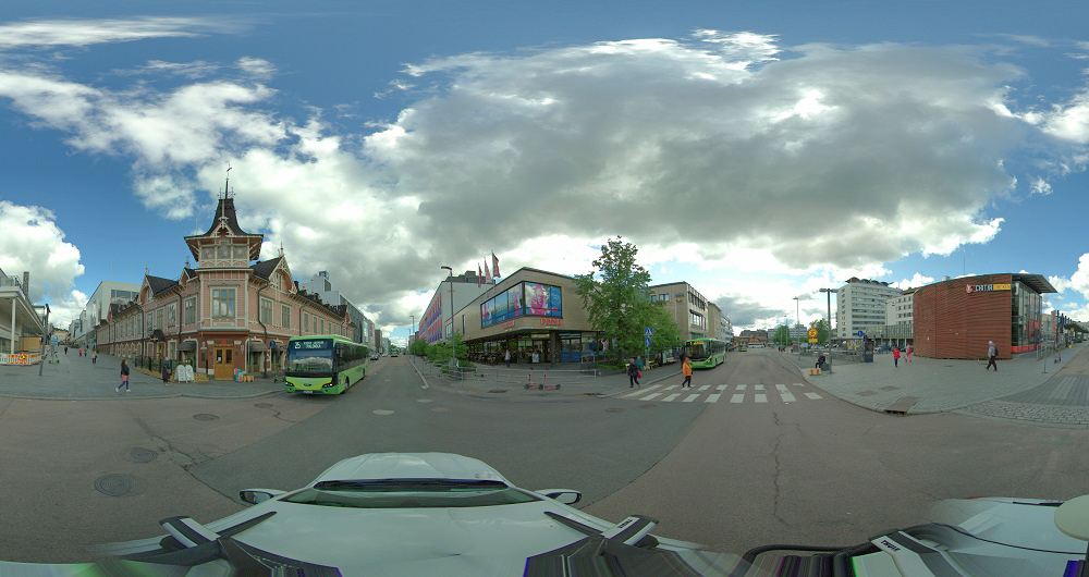
360 street view imagery has become increasingly popular for everyday management tasks in municipalities and cities. Our 360 street view imagery solution FieldROAD™ is a cloud-based service offering ultra-high-resolution and geographically accurate street-level imagery for professional users.
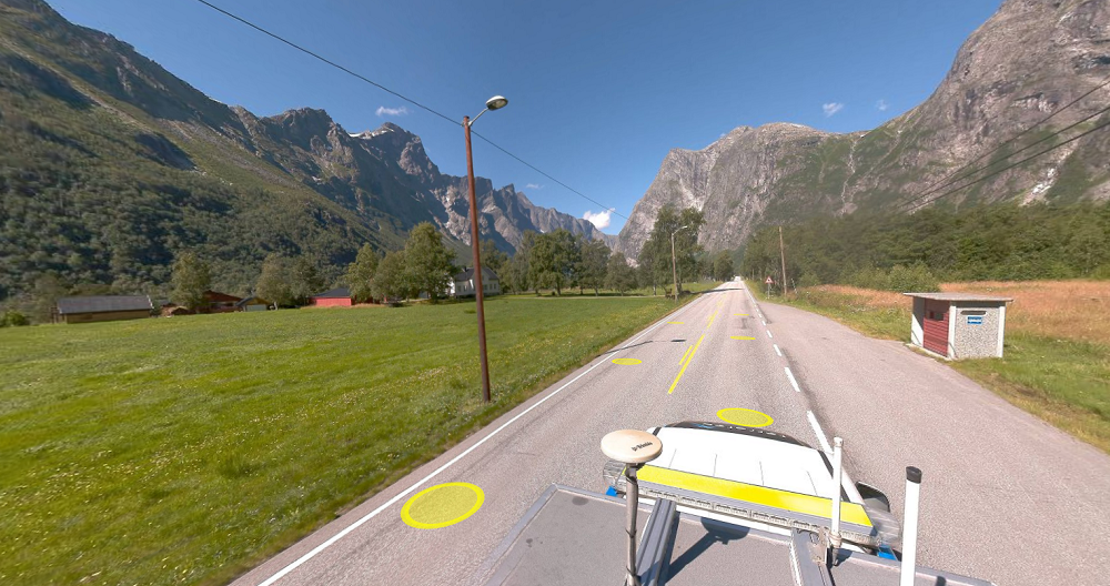
Our camera systems have two laser scanners to enhance measurement functionality and positional accuracy. Imagery and point cloud data are easily accessible through our user-friendly geospatial web portal, Mapspace.
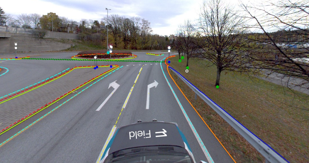
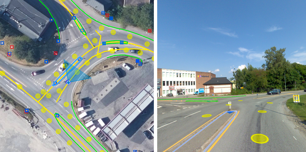
Our solution offers extensive functionality for accurate measurements and registrations directly in the 360 street view imagery, representing an essential tool for street asset inventory using the imagery and detailed lidar depth maps as a data source.
With FieldROAD™, you can take control of where and when images are captured and integrate the imagery with your own geo-referenced data to get the most out of the product and streamline your everyday tasks.
Importantly, we ensure professional handling of GDPR by implementing our own algorithms to depersonalize vehicles and people in the imagery.
Get in touch
Norway
Dag Solberg
+47 971 73 336
dag.solberg@field.group
Norway
Gunhild Mæhlum
+47 417 69 566
gunhild.maehlum@field.group
Finland
Petteri Ryönänkoski
+ 358 400 928 739
petteri.ryonankoski@field.group
Sweden
Bodil Sundberg
+46 703 60 4682
bodil.sundberg@field.group
Mobile Mapping & Geophysics
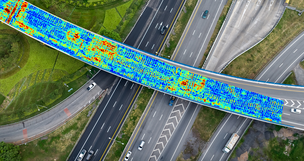
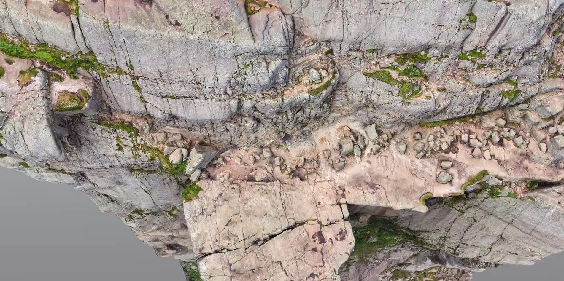
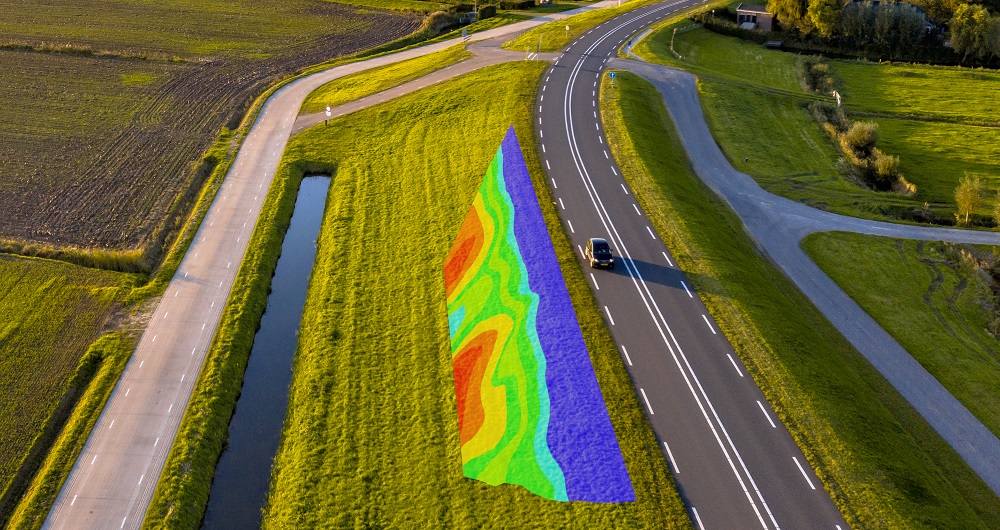
With laser scanners mounted on a car, we can acquire millions of points per second. This very detailed point cloud is used for creating 3D vector models and it is a basis for producing a TIN-model for advanced applications. At the same time with scanning, images and video can be captured. The images are 360-degree street view imagery that can be accessed and used in a separate web viewer, Mapspace. We can also collect information about road conditions and map utilities, groundwater and bedrock using ground penetrating radar. Explore more Field Mobile Mapping & Geophysical Services below.

Geospatial solutions powered by software, sensors, and AI technologies
Join us and help capture and transform accurate geospatial data into valuable insights and digital twins.